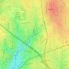
Topografische Karte Deep Ellum PID
Klicken Sie auf die Karte, um die Höhe anzuzeigen.
Deep Ellum PID
Following World War II, the success of Deep Ellum started to fade. The ever-growing availability and use of the automobile led to the removal of the Houston and Texas Central railroad tracks—to make way for Central Expressway—and by 1956 the streetcar line had been removed. Businesses closed, residents moved to the suburbs and the music all but stopped. In 1969, a new elevation of Central Expressway truncated Deep Ellum, completely obliterating the 2400 block of Elm Street, viewed by many as the center of the neighborhood. By the 1970s, few original businesses remained.
Über diese Karte
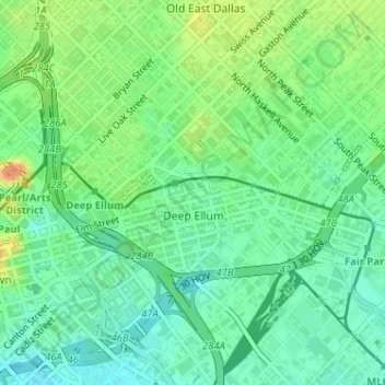
Name: Topografische Karte Deep Ellum PID, Höhe, Relief.
Ort: Deep Ellum PID, Dallas, Dallas County, Texas, United States (32.78030 -96.79177 32.79138 -96.76503)
Durchschnittliche Höhe: 145 m
Minimale Höhe: 129 m
Maximale Höhe: 173 m
Andere topografische Karten
Klicken Sie auf eine Karte, um ihre Topografie, ihre Höhe und ihr Relief anzuzeigen.