
Topografische Karte Hampton Roads
Interaktive Karte
Klicken Sie auf die Karte, um die Höhe anzuzeigen.
Über diese Karte
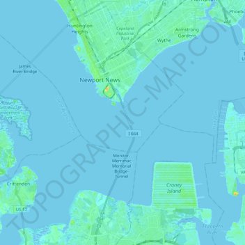
Name: Topografische Karte Hampton Roads, Höhe, Relief.
Ort: Hampton Roads, Newport News, Virginia, United States (36.89637 -76.49562 37.00310 -76.29701)
Durchschnittliche Höhe: 2 m
Minimale Höhe: -4 m
Maximale Höhe: 34 m
The geology and topography of the Hampton Roads region is influenced by the Chesapeake Bay impact crater, one of three factors contributing to the sinking of Hampton Roads at a rate between 15 and 23 centimeters (5.9 and 9.1 inches) per century.