
Topografische Karte Caxambas Pass
Interaktive Karte
Klicken Sie auf die Karte, um die Höhe anzuzeigen.
Über diese Karte
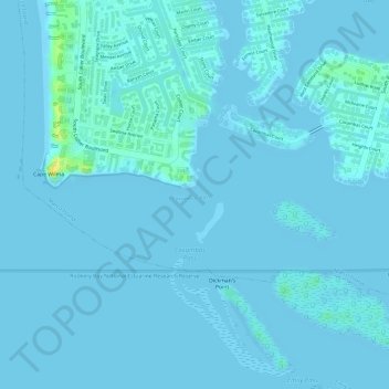
Name: Topografische Karte Caxambas Pass, Höhe, Relief.
Durchschnittliche Höhe: 2 m
Minimale Höhe: -2 m
Maximale Höhe: 23 m
Andere topografische Karten
Klicken Sie auf eine Karte, um ihre Topografie, ihre Höhe und ihr Relief anzuzeigen.
Smokehouse Bay
United States > Florida > Collier County > Marco Island
Smokehouse Bay, Marco Island, Collier County, Florida, 34145, United States
Durchschnittliche Höhe: 4 m
Key Marco
United States > Florida > Collier County > Marco Island
Key Marco, Marco Island, Collier County, Florida, 34140, United States
Durchschnittliche Höhe: 1 m