
Topografische Karte Balkh
Interaktive Karte
Klicken Sie auf die Karte, um die Höhe anzuzeigen.
Balkh
Balkh was historically an ancient place of religions, Zoroastrianism and Buddhism, and one of the wealthiest and largest cities of Khorasan, since the latter's earliest history. The city was known to Persians as Zariaspa and to the Ancient Greeks as Bactra, giving its name to Bactria (Greeks called the city also Zariaspa). It was mostly known as the center and capital of Bactria or Tokharistan. Marco Polo described Balkh as a "noble and great city". Balkh is now for the most part a mass of ruins, situated some 12 km (7.5 mi) from the right bank of the seasonally flowing Balkh River, at an elevation of about 365 m (1,198 ft).
Über diese Karte
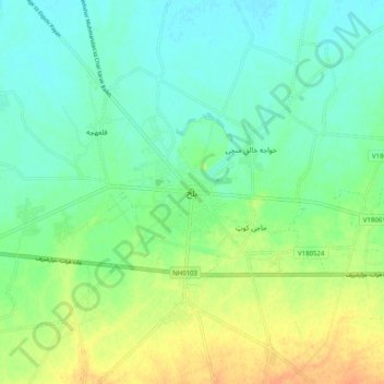
Name: Topografische Karte Balkh, Höhe, Relief.
Ort: Balkh, Balkh Province, Afghanistan (36.71813 66.85808 36.79813 66.93808)
Durchschnittliche Höhe: 348 m
Minimale Höhe: 335 m
Maximale Höhe: 370 m