
Topografische Karte Muzon
Interaktive Karte
Klicken Sie auf die Karte, um die Höhe anzuzeigen.
Über diese Karte
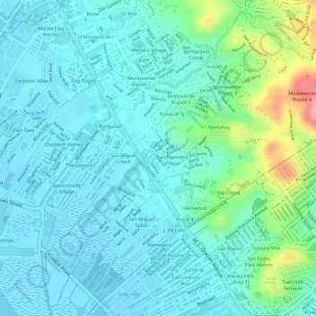
Name: Topografische Karte Muzon, Höhe, Relief.
Ort: Muzon, Taytay, Rizal, Calabarzon, 1920, Philippines (14.53343 121.13547 14.55844 121.16116)
Durchschnittliche Höhe: 28 m
Minimale Höhe: -3 m
Maximale Höhe: 131 m
The shape of Taytay is rectangular – trapezoidal with gently hilly rolling terrain on its eastern side while relatively flat on its south-western side, including the poblacion. The municipality's highest elevation ranges from 200 to 255 meters which is situated along the inner north-eastern hills of Barangay Dolores, alongside the Antipolo Boundary. Its lowest points are from 5 to 20 meters along the southern portion of Barangay San Juan and Muzon towards Laguna Lake.