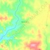
Topografische Karte Mount Shadforth
Klicken Sie auf die Karte, um die Höhe anzuzeigen.
Über diese Karte

Name: Topografische Karte Mount Shadforth, Höhe, Relief.
Durchschnittliche Höhe: 456 m
Minimale Höhe: 427 m
Maximale Höhe: 570 m
Andere topografische Karten
Klicken Sie auf eine Karte, um ihre Topografie, ihre Höhe und ihr Relief anzuzeigen.



Upper Swan
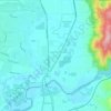
Topographically, most of Upper Swan is low-lying, sitting at an average of 20 metres above sea level within the flood plains of the Swan River. This drops further to only 11 metres immediately around the banks of the river. An exception is the area of the Darling Scarp, where Mount Mambup reaches a peak of 224…
Durchschnittliche Höhe: 35 m













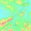
Wolfe Creek Meteorite Crater National Park
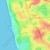
Durchschnittliche Höhe: 349 m



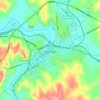

Wembley
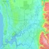
The Indigenous people of the land are the Mooro, a subgroup of the Whadjuk, of the Noongar Aboriginal clan inhabiting the upper west region of the Swan River for at least 40,000 years. The Mooro used resources throughout the region north of the Swan River and moved as the seasons changed. They moved towards…
Durchschnittliche Höhe: 19 m