
Topografische Karte McCown
Interaktive Karte
Klicken Sie auf die Karte, um die Höhe anzuzeigen.
Über diese Karte
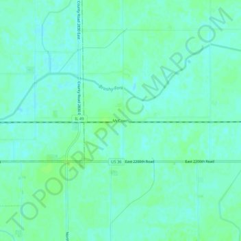
Name: Topografische Karte McCown, Höhe, Relief.
Ort: McCown, Edgar County, Illinois, United States (39.77920 -87.94809 39.81920 -87.90809)
Durchschnittliche Höhe: 198 m
Minimale Höhe: 194 m
Maximale Höhe: 202 m
Andere topografische Karten
Klicken Sie auf eine Karte, um ihre Topografie, ihre Höhe und ihr Relief anzuzeigen.
Chrisman
United States > Illinois > Edgar County
Chrisman, Edgar County, Illinois, United States
Durchschnittliche Höhe: 197 m
Brocton
United States > Illinois > Edgar County
Brocton, Edgar County, Illinois, United States
Durchschnittliche Höhe: 203 m
Scottland
United States > Illinois > Edgar County > Scottland
Scottland, Edgar County, Illinois, 61924, United States
Durchschnittliche Höhe: 192 m