
Topografische Karte Brocton
Interaktive Karte
Klicken Sie auf die Karte, um die Höhe anzuzeigen.
Über diese Karte
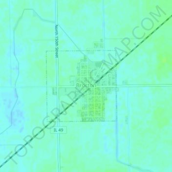
Name: Topografische Karte Brocton, Höhe, Relief.
Ort: Brocton, Edgar County, Illinois, United States (39.70988 -87.94068 39.72105 -87.92627)
Durchschnittliche Höhe: 203 m
Minimale Höhe: 199 m
Maximale Höhe: 207 m
Andere topografische Karten
Klicken Sie auf eine Karte, um ihre Topografie, ihre Höhe und ihr Relief anzuzeigen.
McCown
United States > Illinois > Edgar County
McCown, Edgar County, Illinois, United States
Durchschnittliche Höhe: 198 m
Chrisman
United States > Illinois > Edgar County
Chrisman, Edgar County, Illinois, United States
Durchschnittliche Höhe: 197 m
Scottland
United States > Illinois > Edgar County > Scottland
Scottland, Edgar County, Illinois, 61924, United States
Durchschnittliche Höhe: 192 m