
Topografische Karte Morro El Gallo
Interaktive Karte
Klicken Sie auf die Karte, um die Höhe anzuzeigen.
Über diese Karte
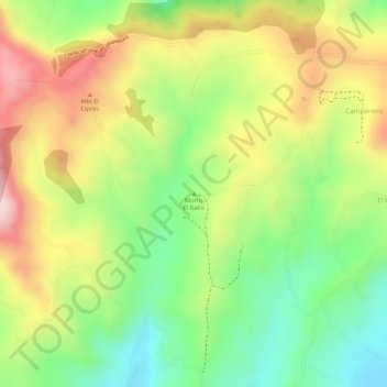
Name: Topografische Karte Morro El Gallo, Höhe, Relief.
Ort: Morro El Gallo, Pasto, Centro, Nariño, 0057, Colombia (1.13508 -77.27592 1.13518 -77.27582)
Durchschnittliche Höhe: 3.133 m
Minimale Höhe: 2.994 m
Maximale Höhe: 3.279 m
Andere topografische Karten
Klicken Sie auf eine Karte, um ihre Topografie, ihre Höhe und ihr Relief anzuzeigen.