
Topografische Karte Colombia
Interaktive Karte
Klicken Sie auf die Karte, um die Höhe anzuzeigen.
Über diese Karte
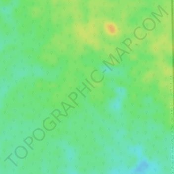
Name: Topografische Karte Colombia, Höhe, Relief.
Ort: Colombia, Vaupés, Colombia (0.10305 -70.06744 0.12305 -70.04744)
Durchschnittliche Höhe: 158 m
Minimale Höhe: 143 m
Maximale Höhe: 173 m
Andere topografische Karten
Klicken Sie auf eine Karte, um ihre Topografie, ihre Höhe und ihr Relief anzuzeigen.
Puerto Asis
Puerto Asis, Yavaraté, Vaupés, RAP Amazonía, Colombia
Durchschnittliche Höhe: 162 m
Acaricuara
Colombia > Vaupés > Mitú > Acaricuara
Acaricuara, Mitú, Vaupés, Colombia
Durchschnittliche Höhe: 170 m